
Jayawijaya topographic map
Interactive map
Click on the map to display elevation.
About this map
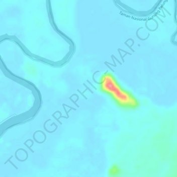
Name: Jayawijaya topographic map, elevation, terrain.
Location: Jayawijaya, Kalimantan occidental, Indonésie (-1.10132 110.06812 -1.06132 110.10812)
Average elevation: 5 m
Minimum elevation: -2 m
Maximum elevation: 81 m
Other topographic maps
Click on a map to view its topography, its elevation and its terrain.
Bangka Belitung Laut
Indonésie > Kalimantan occidental > Pontianak
Bangka Belitung Laut, Pontianak Tenggara, Pontianak, Kalimantan occidental, 78242, Indonésie
Average elevation: 3 m
Sanggau
Indonésie > Kalimantan occidental
Sanggau, Kalimantan occidental, Kalimantan, Indonésie
Average elevation: 106 m
Sanggau
Indonésie > Kalimantan occidental > Sanggau
Sanggau, Kalimantan occidental, Indonésie
Average elevation: 42 m