
Grahan topographic map
Click on the map to display elevation.
About this map
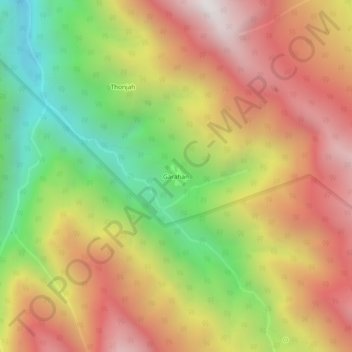
Name: Grahan topographic map, elevation, terrain.
Location: Grahan, Kullu, Himachal Pradesh, India (31.95178 77.32683 31.99178 77.36683)
Average elevation: 2,645 m
Minimum elevation: 1,773 m
Maximum elevation: 3,442 m