
Thank you for supporting this site ❤️
Make a donation
Make a donation
Gowardhan topographic map
Click on the map to display elevation.
Thank you for supporting this site ❤️
Make a donation
Make a donation
About this map
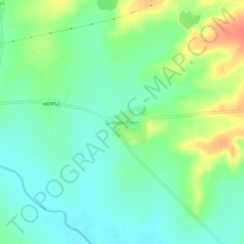
Name: Gowardhan topographic map, elevation, terrain.
Location: Gowardhan, Risod, Washim, Maharashtra, 444504, India (20.08586 76.81309 20.12586 76.85309)
Average elevation: 518 m
Minimum elevation: 501 m
Maximum elevation: 550 m
Thank you for supporting this site ❤️
Make a donation
Make a donation