
Thank you for supporting this site ❤️
Make a donation
Make a donation
Stettler topographic map
Click on the map to display elevation.
Thank you for supporting this site ❤️
Make a donation
Make a donation
About this map
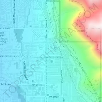
Name: Stettler topographic map, elevation, terrain.
Location: Stettler, Ogden, Weber County, Utah, 84404, United States (41.25050 -111.95606 41.27050 -111.93606)
Average elevation: 1,474 m
Minimum elevation: 1,314 m
Maximum elevation: 2,121 m
Thank you for supporting this site ❤️
Make a donation
Make a donation