
Mangani topographic map
Interactive map
Click on the map to display elevation.
About this map
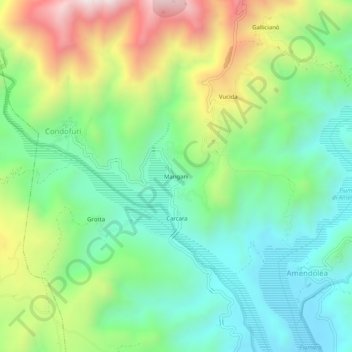
Name: Mangani topographic map, elevation, terrain.
Location: Mangani, Condofuri, Reggio Calabria, Calabre, Italie (37.97951 15.85372 38.01951 15.89372)
Average elevation: 416 m
Minimum elevation: 111 m
Maximum elevation: 1,006 m