
Thank you for supporting this site ❤️
Make a donation
Make a donation
Hong topographic map
Click on the map to display elevation.
Thank you for supporting this site ❤️
Make a donation
Make a donation
About this map
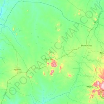
Name: Hong topographic map, elevation, terrain.
Location: Hong, Adamawa State, Nigeria (9.96098 12.57251 10.58293 13.21315)
Average elevation: 518 m
Minimum elevation: 369 m
Maximum elevation: 1,225 m
Thank you for supporting this site ❤️
Make a donation
Make a donation
Other topographic maps
Click on a map to view its topography, its elevation and its terrain.