
Boutersem topographic map
Interactive map
Click on the map to display elevation.
About this map
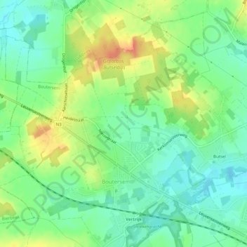
Name: Boutersem topographic map, elevation, terrain.
Location: Boutersem, Löwen, Flämisch-Brabant, Flandern, 3370, Belgien (50.83449 4.80992 50.86024 4.85947)
Average elevation: 67 m
Minimum elevation: 49 m
Maximum elevation: 94 m