
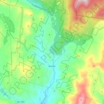
Warren topographic map
Interactive map
Click on the map to display elevation.
About this map
Name: Warren topographic map, elevation, terrain.
Average elevation: 475 m
Minimum elevation: 184 m
Maximum elevation: 1,166 m
Die größte Höhe über dem Meeresspiegel liegt an der Grenze zu Wentworth am Nordhang des Carr Mountain.