
Bond County topographic map
Interactive map
Click on the map to display elevation.
About this map
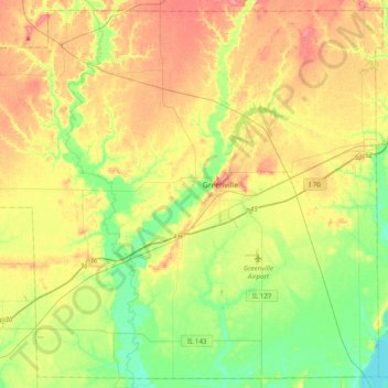
Name: Bond County topographic map, elevation, terrain.
Location: Bond County, Illinois, United States (38.74063 -89.63915 39.02844 -89.25019)
Average elevation: 164 m
Minimum elevation: 131 m
Maximum elevation: 204 m
Other topographic maps
Click on a map to view its topography, its elevation and its terrain.