
Chandahandi topographic map
Interactive map
Click on the map to display elevation.
About this map
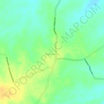
Name: Chandahandi topographic map, elevation, terrain.
Location: Chandahandi, Nabarangapur, Odisha, 764077, India (19.84057 82.48653 19.85365 82.49631)
Average elevation: 295 m
Minimum elevation: 281 m
Maximum elevation: 310 m