
Mount Lucania topographic map
Interactive map
Click on the map to display elevation.
About this map
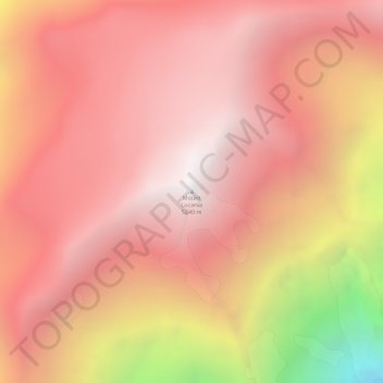
Name: Mount Lucania topographic map, elevation, terrain.
Location: Mount Lucania, Yukon, Canada (61.02152 -140.46605 61.02162 -140.46595)
Average elevation: 4,657 m
Minimum elevation: 3,278 m
Maximum elevation: 5,237 m
Other topographic maps
Click on a map to view its topography, its elevation and its terrain.
Dawson City
Canada > Yukon > Dawson City
Dawson City, Town of Dawson City, Yukon, Unorganized, Yukon, Canada
Average elevation: 510 m
Burwash Landing
Canada > Yukon > Burwash Landing
Burwash Landing, Yukon, Unorganized, Yukon, Y1A 3V4, Canada
Average elevation: 828 m