
Thank you for supporting this site ❤️
Make a donation
Make a donation
Pingxiang County topographic map
Click on the map to display elevation.
Thank you for supporting this site ❤️
Make a donation
Make a donation
About this map
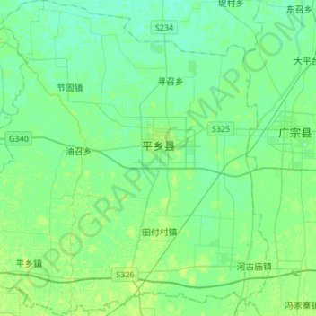
Name: Pingxiang County topographic map, elevation, terrain.
Location: Pingxiang County, Xingtai, Hebei, 054500, China (36.94602 114.86219 37.16222 115.12133)
Average elevation: 33 m
Minimum elevation: 29 m
Maximum elevation: 39 m
Thank you for supporting this site ❤️
Make a donation
Make a donation
Other topographic maps
Click on a map to view its topography, its elevation and its terrain.