
Southampton County topographic map
Interactive map
Click on the map to display elevation.
About this map
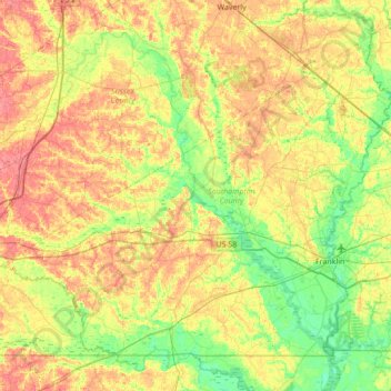
Name: Southampton County topographic map, elevation, terrain.
Location: Southampton County, Virginia, Vereinigte Staaten von Amerika (36.54389 -77.50311 36.99571 -76.81505)
Average elevation: 24 m
Minimum elevation: 1 m
Maximum elevation: 54 m