
Thank you for supporting this site ❤️
Make a donation
Make a donation
Agra topographic map
Click on the map to display elevation.
Thank you for supporting this site ❤️
Make a donation
Make a donation
About this map
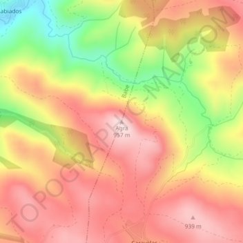
Name: Agra topographic map, elevation, terrain.
Location: Agra, Bragança, Bragança District, Portugal (41.83995 -6.62408 41.84005 -6.62398)
Average elevation: 829 m
Minimum elevation: 640 m
Maximum elevation: 954 m
Thank you for supporting this site ❤️
Make a donation
Make a donation