
Thank you for supporting this site ❤️
Make a donation
Make a donation
Tres Reyes Island topographic map
Click on the map to display elevation.
Thank you for supporting this site ❤️
Make a donation
Make a donation
About this map
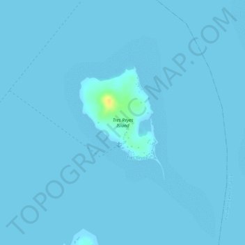
Name: Tres Reyes Island topographic map, elevation, terrain.
Location: Tres Reyes Island, Bohol, Central Visayas, Philippines (10.08163 124.50427 10.09414 124.51383)
Average elevation: 1 m
Minimum elevation: 0 m
Maximum elevation: 27 m
Thank you for supporting this site ❤️
Make a donation
Make a donation
Other topographic maps
Click on a map to view its topography, its elevation and its terrain.