
忻城县 topographic map
Interactive map
Click on the map to display elevation.
About this map
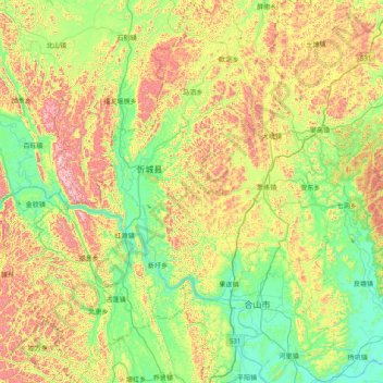
Name: 忻城县 topographic map, elevation, terrain.
Location: 忻城县, 来宾市, 广西壮族自治区, 中国 (23.66429 108.41186 24.38550 109.10287)
Average elevation: 328 m
Minimum elevation: 61 m
Maximum elevation: 860 m
Other topographic maps
Click on a map to view its topography, its elevation and its terrain.