
Portugalete topographic map
Interactive map
Click on the map to display elevation.
About this map
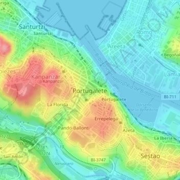
Name: Portugalete topographic map, elevation, terrain.
Location: Portugalete, Andraka, Vizcaya, País Vasco, 48620, España (43.30498 -3.03848 43.33232 -3.00641)
Average elevation: 33 m
Minimum elevation: -2 m
Maximum elevation: 98 m