
Cheratte topographic map
Interactive map
Click on the map to display elevation.
About this map
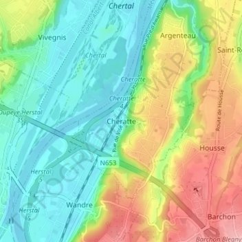
Name: Cheratte topographic map, elevation, terrain.
Location: Cheratte, Visé, Liège, Wallonia, 4600, Belgium (50.66403 5.65077 50.70403 5.69077)
Average elevation: 105 m
Minimum elevation: 53 m
Maximum elevation: 198 m