
Hechtel topographic map
Interactive map
Click on the map to display elevation.
About this map
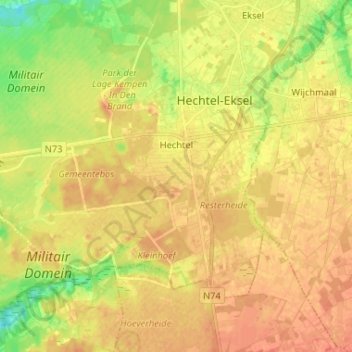
Name: Hechtel topographic map, elevation, terrain.
Location: Hechtel, Hechtel-Eksel, Maaseik, Limburg, Flandern, Belgien (51.08775 5.26804 51.14491 5.39824)
Average elevation: 62 m
Minimum elevation: 39 m
Maximum elevation: 75 m