
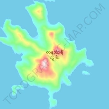
တနင်္သာရီကျွန်း topographic map
Interactive map
Click on the map to display elevation.
About this map
Name: တနင်္သာရီကျွန်း topographic map, elevation, terrain.
Location: တနင်္သာရီကျွန်း, ကျွန်းစု, မြိတ်ခရိုင်, Tanintharyi, Birmanie (12.53956 97.82267 12.60255 97.88013)
Average elevation: 53 m
Minimum elevation: -1 m
Maximum elevation: 463 m