
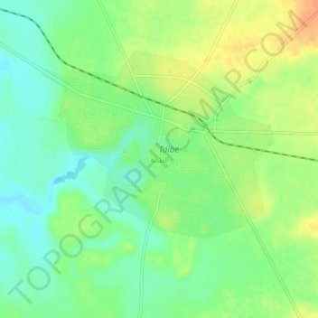
At Tayyibah topographic map
Interactive map
Click on the map to display elevation.
About this map
Name: At Tayyibah topographic map, elevation, terrain.
Average elevation: 586 m
Minimum elevation: 569 m
Maximum elevation: 607 m
Other topographic maps
Click on a map to view its topography, its elevation and its terrain.
Bosra
Bosra, ناحية بصرى الشام, منطقة درعا, Gouvernorat de Deraa, Syrie
Average elevation: 852 m
منطقة درعا
منطقة درعا, Gouvernorat de Deraa, Syrie
Average elevation: 666 m
Nawa
Nawa, ناحية نوى, منطقة ازرع, Gouvernorat de Deraa, Syrie
Average elevation: 569 m
`Uthman
Syrie > Gouvernorat de Deraa > `Uthman
`Uthman, Gouvernorat de Deraa, Syrie
Average elevation: 520 m
Deraa
Deraa, ناحية درعا, منطقة درعا, Gouvernorat de Deraa, Syrie
Average elevation: 546 m