
Thank you for supporting this site ❤️
Make a donation
Make a donation
Abbanakuppe topographic map
Click on the map to display elevation.
Thank you for supporting this site ❤️
Make a donation
Make a donation
About this map
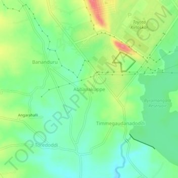
Name: Abbanakuppe topographic map, elevation, terrain.
Location: Abbanakuppe, Ramanagara taluk, Ramanagara, Karnataka, India (12.75059 77.38775 12.79059 77.42775)
Average elevation: 701 m
Minimum elevation: 673 m
Maximum elevation: 748 m
Thank you for supporting this site ❤️
Make a donation
Make a donation
Other topographic maps
Click on a map to view its topography, its elevation and its terrain.