
Thank you for supporting this site ❤️
Make a donation
Make a donation
Tumen River topographic map
Click on the map to display elevation.
Thank you for supporting this site ❤️
Make a donation
Make a donation
About this map
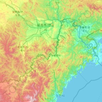
Name: Tumen River topographic map, elevation, terrain.
Location: Tumen River, North Korea (41.99697 128.46810 43.00896 130.69668)
Average elevation: 524 m
Minimum elevation: 0 m
Maximum elevation: 2,511 m
Thank you for supporting this site ❤️
Make a donation
Make a donation