
Lazaro Cardenas (Santana) topographic map
Interactive map
Click on the map to display elevation.
About this map
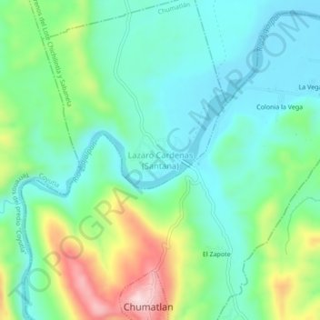
Name: Lazaro Cardenas (Santana) topographic map, elevation, terrain.
Average elevation: 187 m
Minimum elevation: 91 m
Maximum elevation: 430 m