
Rütihof topographic map
Interactive map
Click on the map to display elevation.
About this map
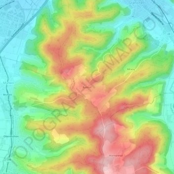
Name: Rütihof topographic map, elevation, terrain.
Location: Rütihof, Gränichen, Bezirk Aarau, Aargau, 5722, Schweiz (47.31982 8.06027 47.35982 8.10027)
Average elevation: 509 m
Minimum elevation: 410 m
Maximum elevation: 640 m