
Faias topographic map
Interactive map
Click on the map to display elevation.
About this map
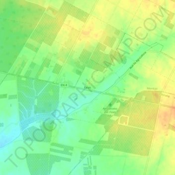
Name: Faias topographic map, elevation, terrain.
Location: Faias, Pegões, Montijo, Setúbal, Portugal (38.67167 -8.77207 38.71167 -8.73207)
Average elevation: 42 m
Minimum elevation: 25 m
Maximum elevation: 58 m
Other topographic maps
Click on a map to view its topography, its elevation and its terrain.