
Nelson County topographic map
Interactive map
Click on the map to display elevation.
About this map
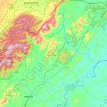
Name: Nelson County topographic map, elevation, terrain.
Location: Nelson County, Virginia, Vereinigte Staaten von Amerika (37.53562 -79.17191 38.04758 -78.64077)
Average elevation: 351 m
Minimum elevation: 88 m
Maximum elevation: 1,224 m