
Duvernay topographic map
Interactive map
Click on the map to display elevation.
About this map
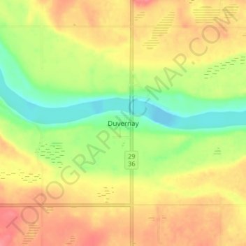
Name: Duvernay topographic map, elevation, terrain.
Location: Duvernay, County of Two Hills, Alberta, Canada (53.76657 -111.71029 53.80657 -111.67029)
Average elevation: 571 m
Minimum elevation: 534 m
Maximum elevation: 602 m