
Thank you for supporting this site ❤️
Make a donation
Make a donation
Alphen aan den Rijn topographic map
Click on the map to display elevation.
Thank you for supporting this site ❤️
Make a donation
Make a donation
About this map
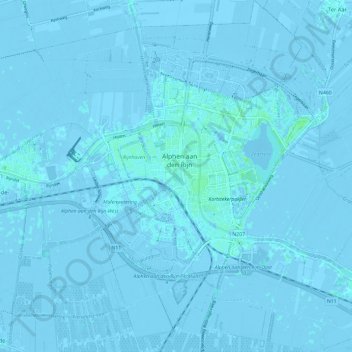
Name: Alphen aan den Rijn topographic map, elevation, terrain.
Location: Alphen aan den Rijn, South Holland, Netherlands (52.09464 4.61792 52.16750 4.72452)
Average elevation: -1 m
Minimum elevation: -7 m
Maximum elevation: 8 m
Thank you for supporting this site ❤️
Make a donation
Make a donation
Other topographic maps
Click on a map to view its topography, its elevation and its terrain.
Capelle aan den IJssel
Netherlands > South Holland > Capelle aan den IJssel
Dutch Topographic map of the municipality of Capelle aan den IJssel, June 2015.
Average elevation: -1 m