
Coquimatlán topographic map
Interactive map
Click on the map to display elevation.
About this map
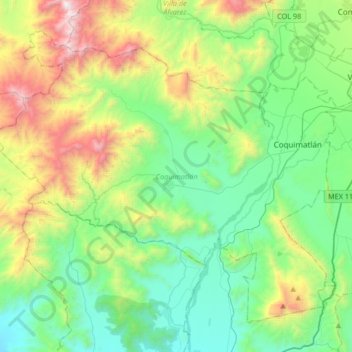
Name: Coquimatlán topographic map, elevation, terrain.
Location: Coquimatlán, Colima, México (19.04557 -104.10405 19.30632 -103.77181)
Average elevation: 587 m
Minimum elevation: 34 m
Maximum elevation: 1,996 m