
Entlebuch topographic map
Interactive map
Click on the map to display elevation.
About this map
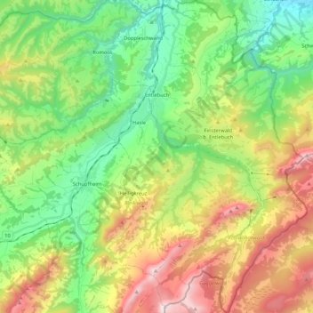
Name: Entlebuch topographic map, elevation, terrain.
Location: Entlebuch, Luzern, Schweiz (46.89277 8.00972 47.03518 8.16484)
Average elevation: 1,066 m
Minimum elevation: 505 m
Maximum elevation: 2,029 m