
Thank you for supporting this site ❤️
Make a donation
Make a donation
Kuji topographic map
Click on the map to display elevation.
Thank you for supporting this site ❤️
Make a donation
Make a donation
About this map
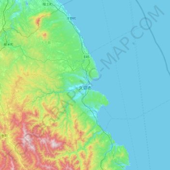
Name: Kuji topographic map, elevation, terrain.
Location: Kuji, Iwate Prefecture, 028-0041, Japan (40.00770 141.45642 40.38844 142.15421)
Average elevation: 209 m
Minimum elevation: 0 m
Maximum elevation: 1,242 m
Thank you for supporting this site ❤️
Make a donation
Make a donation