
`Aynata topographic map
Interactive map
Click on the map to display elevation.
About this map
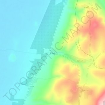
Name: `Aynata topographic map, elevation, terrain.
Location: `Aynata, Gouvernorat d'Idleb, Syrie (35.80224 36.46431 35.84224 36.50431)
Average elevation: 331 m
Minimum elevation: 220 m
Maximum elevation: 594 m