
Thank you for supporting this site ❤️
Make a donation
Make a donation
Dashrah topographic map
Click on the map to display elevation.
Thank you for supporting this site ❤️
Make a donation
Make a donation
About this map
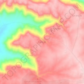
Name: Dashrah topographic map, elevation, terrain.
Location: Dashrah, Jabal al Gharbi, Libya (31.85067 11.75241 31.89067 11.79241)
Average elevation: 580 m
Minimum elevation: 380 m
Maximum elevation: 662 m
Thank you for supporting this site ❤️
Make a donation
Make a donation