
Montmiral topographic map
Interactive map
Click on the map to display elevation.
About this map
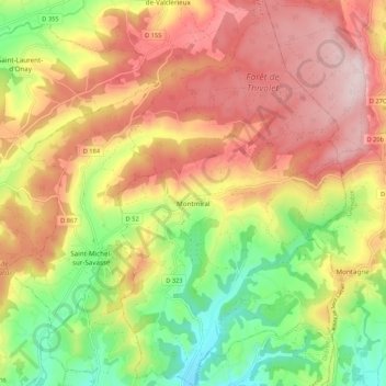
Name: Montmiral topographic map, elevation, terrain.
Average elevation: 418 m
Minimum elevation: 242 m
Maximum elevation: 580 m
Dictionnaire topographique du département de la Drôme.