
Thank you for supporting this site ❤️
Make a donation
Make a donation
Le Roy topographic map
Click on the map to display elevation.
Thank you for supporting this site ❤️
Make a donation
Make a donation
About this map
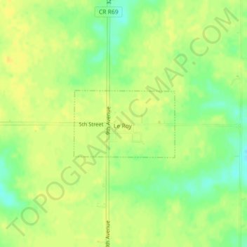
Name: Le Roy topographic map, elevation, terrain.
Location: Le Roy, Decatur County, Iowa, United States (40.87430 -93.59997 40.88164 -93.58538)
Average elevation: 337 m
Minimum elevation: 322 m
Maximum elevation: 345 m
Thank you for supporting this site ❤️
Make a donation
Make a donation