
Charlotte topographic map
Interactive map
Click on the map to display elevation.
About this map
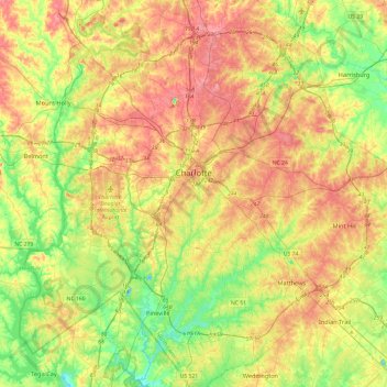
Name: Charlotte topographic map, elevation, terrain.
Location: Charlotte, Mecklenburg County, Caroline du Nord, États-Unis (35.01317 -81.00955 35.39313 -80.67010)
Average elevation: 207 m
Minimum elevation: 149 m
Maximum elevation: 271 m