
Thank you for supporting this site ❤️
Make a donation
Make a donation
Red Feather Lakes topographic map
Click on the map to display elevation.
Thank you for supporting this site ❤️
Make a donation
Make a donation
About this map
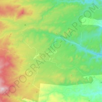
Name: Red Feather Lakes topographic map, elevation, terrain.
Location: Red Feather Lakes, Larimer County, Colorado, United States (40.76336 -105.66814 40.85211 -105.44278)
Average elevation: 2,597 m
Minimum elevation: 2,157 m
Maximum elevation: 3,351 m
Thank you for supporting this site ❤️
Make a donation
Make a donation
Other topographic maps
Click on a map to view its topography, its elevation and its terrain.