
Chanderi Tahsil topographic map
Interactive map
Click on the map to display elevation.
About this map
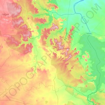
Name: Chanderi Tahsil topographic map, elevation, terrain.
Location: Chanderi Tahsil, Ashok Nagar, Madhya Pradesh, India (24.53410 77.84550 24.85870 78.27808)
Average elevation: 415 m
Minimum elevation: 324 m
Maximum elevation: 534 m
Other topographic maps
Click on a map to view its topography, its elevation and its terrain.
Chanderi
India > Madhya Pradesh > Chanderi Tahsil
Chanderi, Chanderi Tahsil, Ashok Nagar, Madhya Pradesh, 473446, India
Average elevation: 440 m