
Amli topographic map
Interactive map
Click on the map to display elevation.
About this map
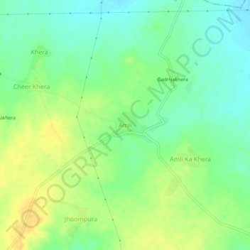
Name: Amli topographic map, elevation, terrain.
Location: Amli, Sahara Tehsil, Bhilwara, Rajasthan, India (25.27395 74.29324 25.31395 74.33324)
Average elevation: 493 m
Minimum elevation: 480 m
Maximum elevation: 508 m