
Santa Clara topographic map
Interactive map
Click on the map to display elevation.
About this map
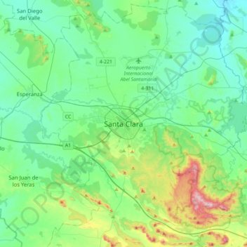
Name: Santa Clara topographic map, elevation, terrain.
Location: Santa Clara, Villa Clara, 50100, Cuba (22.24657 -80.12515 22.56657 -79.80515)
Average elevation: 126 m
Minimum elevation: 36 m
Maximum elevation: 463 m