
Trenton topographic map
Interactive map
Click on the map to display elevation.
About this map
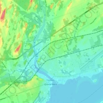
Name: Trenton topographic map, elevation, terrain.
Location: Trenton, Quinte West, Ontario, K8V 2T6, Canada (44.08418 -77.61390 44.16418 -77.53390)
Average elevation: 96 m
Minimum elevation: 72 m
Maximum elevation: 170 m