
Thank you for supporting this site ❤️
Make a donation
Make a donation
Thalori topographic map
Click on the map to display elevation.
Thank you for supporting this site ❤️
Make a donation
Make a donation
About this map
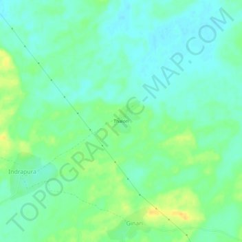
Name: Thalori topographic map, elevation, terrain.
Location: Thalori, Churu Tehsil, Churu, Rajasthan, India (28.44124 74.99521 28.48124 75.03521)
Average elevation: 268 m
Minimum elevation: 258 m
Maximum elevation: 284 m
Thank you for supporting this site ❤️
Make a donation
Make a donation