
Thank you for supporting this site ❤️
Make a donation
Make a donation
Kiel topographic map
Click on the map to display elevation.
Thank you for supporting this site ❤️
Make a donation
Make a donation
About this map
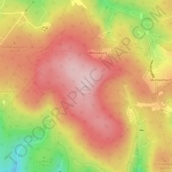
Name: Kiel topographic map, elevation, terrain.
Location: Kiel, Klingenthal, Vogtlandkreis, Sachsen, 08248, Deutschland (50.40653 12.46894 50.40663 12.46904)
Average elevation: 843 m
Minimum elevation: 681 m
Maximum elevation: 940 m
Thank you for supporting this site ❤️
Make a donation
Make a donation
Other topographic maps
Click on a map to view its topography, its elevation and its terrain.