
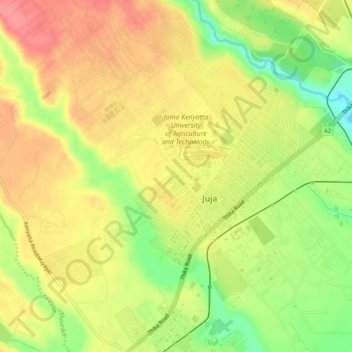
Juja topographic map
Interactive map
Click on the map to display elevation.
About this map
Name: Juja topographic map, elevation, terrain.
Location: Juja, Kiambu, Kenia (-1.12467 36.99280 -1.07210 37.04172)
Average elevation: 1,519 m
Minimum elevation: 1,472 m
Maximum elevation: 1,554 m