
Allen topographic map
Click on the map to display elevation.
About this map
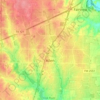
Name: Allen topographic map, elevation, terrain.
Location: Allen, Collin County, Texas, United States (33.07079 -96.73667 33.15801 -96.60899)
Average elevation: 200 m
Minimum elevation: 159 m
Maximum elevation: 233 m
Other topographic maps
Click on a map to view its topography, its elevation and its terrain.