
Thank you for supporting this site ❤️
Make a donation
Make a donation
Limkheda topographic map
Click on the map to display elevation.
Thank you for supporting this site ❤️
Make a donation
Make a donation
About this map
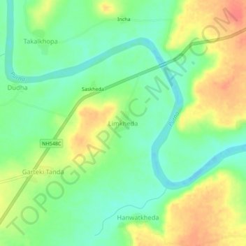
Name: Limkheda topographic map, elevation, terrain.
Location: Limkheda, Mantha, Jalna, Maharashtra, India (19.83517 76.41970 19.87517 76.45970)
Average elevation: 492 m
Minimum elevation: 469 m
Maximum elevation: 522 m
Thank you for supporting this site ❤️
Make a donation
Make a donation
Other topographic maps
Click on a map to view its topography, its elevation and its terrain.