
Irschenberg topographic map
Interactive map
Click on the map to display elevation.
About this map
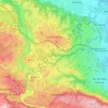
Name: Irschenberg topographic map, elevation, terrain.
Location: Irschenberg, Landkreis Miesbach, Baviera, 83737, Alemanha (47.77353 11.83076 47.86489 11.95884)
Average elevation: 642 m
Minimum elevation: 477 m
Maximum elevation: 883 m