
Thank you for supporting this site ❤️
Make a donation
Make a donation
Koglhof topographic map
Click on the map to display elevation.
Thank you for supporting this site ❤️
Make a donation
Make a donation
About this map
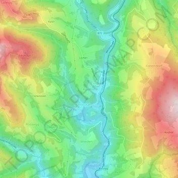
Name: Koglhof topographic map, elevation, terrain.
Location: Koglhof, Birkfeld, Bezirk Weiz, Styria, 8190, Austria (47.29866 15.66878 47.33866 15.70878)
Average elevation: 716 m
Minimum elevation: 494 m
Maximum elevation: 1,038 m
Thank you for supporting this site ❤️
Make a donation
Make a donation