
Brite topographic map
Interactive map
Click on the map to display elevation.
About this map
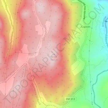
Name: Brite topographic map, elevation, terrain.
Location: Brite, Armamar, Viseu, North, 3620-909, Portugal (41.03426 -7.65067 41.03436 -7.65057)
Average elevation: 782 m
Minimum elevation: 541 m
Maximum elevation: 922 m